About the Book
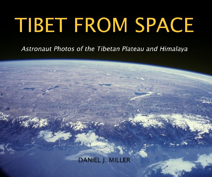
Astronauts have used hand-held cameras to photograph the Earth since the early 1960's. Photographs from space, taken by astronauts on Space Shuttle Missions or from the International Space Station, can be used not only as scientific data, but also to educate the public about the Earth. With 154 photographs of the Tibetan Plateau and Himalaya, taken at heights of 200-400 km above the Earth, these images provide an out-of-the-ordinary view and are a valuable resource to understand the geography and landscape of the Himalaya and Tibetan Plateau. The views from space help one to to envisage the topography and lay of the land from a broad, regional perspective. One begins to define the landscape by watersheds, by mountain ranges and large lakes, the natural demarcations of the landscape. The photos from space are complemented with 130 photographs taken by the author of the people, livestock, wildlife, and landscape of the Himalaya and Tibet.
Features & Details
- Primary Category: Arts & Photography Books
-
Project Option: Standard Landscape, 10×8 in, 25×20 cm
# of Pages: 206 - Publish Date: Dec 02, 2012
- Language English
See More
About the Creator

Daniel Miller
Buffalo, Wyoming
